

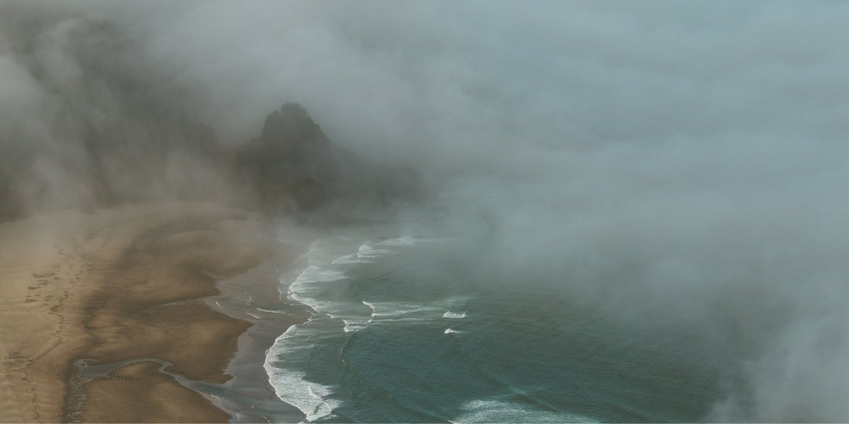






Researchers have found that surfing webcams Oregon coastal fog observations can provide a practical way to monitor fog along Oregon’s coastline. The University of California, Davis-led study, conducted with the USDA Forest Service, found that publicly available surfing webcams can help researchers examine coastal fog patterns and supplement existing weather observations used to study environmental conditions.
Key Takeaways
- UC Davis researchers used surfing webcams to study fog along Oregon’s coastline.
- The research analyzed webcam images collected between 2022 and 2024.
- Fog was often found at individual coastal locations rather than across the entire shoreline.
- Airport weather observations reflected monthly fog trends but not real-time local conditions.
- Researchers said publicly available webcams can support qualitative fog monitoring.
Researchers evaluated whether commercially available surfing webcams could provide a practical method for observing fog along the Oregon coast. The project combined publicly accessible camera images with weather observations to examine how fog changes across different coastal locations.
The study was led by researchers from the University of California, Davis in collaboration with the USDA Forest Service. Findings were published in the journal Agricultural and Forest Meteorology.
Lead author Sonya Rauschenbach, a graduate student in Associate Professor Adele Igel’s Cloud Physics Group at the University of California, Davis, said fog plays an important role in Oregon and California during the summer by contributing moisture to the environment.
Researchers explained that coastal fog affects more than visibility. It also influences ecosystems, transportation, outdoor recreation and environmental conditions along the shoreline. Similar weather conditions have also been discussed in coverage of Portland weather drought concerns affecting the region.
Traditional fog monitoring often relies on satellite imagery. While satellites provide broad geographic coverage, they cannot always distinguish fog from low cloud cover. Specialized instruments capable of measuring fog directly are available but are expensive and installed at relatively few locations.
The research examined whether readily available webcam imagery could serve as a reliable qualitative tool for identifying fog without requiring additional monitoring infrastructure.
Researchers Compared Webcam Images With Airport Data
Webcam Locations Included Six Coastal Sites
Researchers collected daytime webcam images during the summers of 2022, 2023 and 2024. The primary study sites included Agate Beach, Otter Rock, Pacific City, Lincoln City and Cannon Beach.
The team also incorporated a long-term webcam archive from Yaquina Head maintained by Oregon State University. Together, these locations covered approximately 93 miles of Oregon coastline.
Researchers reviewed the images to determine whether fog was visible at each location during daylight hours.
Newport Airport Provided Visibility Measurements
The webcam observations were compared with surface weather data collected at Newport Municipal Airport. The airport operates an Automated Surface Observing System equipped with visibility sensors capable of detecting fog.
Researchers evaluated whether airport observations accurately represented fog conditions observed by the coastal webcams.
The comparison found that airport measurements generally reflected average monthly fog frequency along the coast. However, the airport observations did not consistently identify real-time fog conditions at individual beaches.
The findings indicate that localized observations remain important because fog conditions can differ substantially over relatively short distances, similar to changing conditions described in reports about the Oregon coast beach hazards.
Fog Patterns Varied Across Oregon’s Coastline
Localized Fog Shifted Between Beaches
The study found that fog rarely covered every monitored location simultaneously. Instead, fog frequently appeared at one coastal site while nearby beaches remained clear.
Researchers reported that these localized differences occurred even between locations separated by relatively short distances.
Co-author John Kim of the USDA Forest Service said the observed variation between sites was greater than expected. The findings provide additional information about how coastal fog behaves along different sections of Oregon’s shoreline.
The results also demonstrate that conditions reported for one beach cannot always be applied to neighboring coastal communities.
Visibility Threshold Defined Fog Conditions
The study used the standard meteorological definition of fog, which is visibility below one kilometer, or approximately half a mile.
Researchers reported that the webcams successfully identified whether fog was generally present at individual locations. However, the cameras could not precisely measure visibility or determine exact fog intensity.
The research concluded that publicly available webcams are useful for qualitative detection rather than replacing specialized visibility instruments.
This distinction allows webcam observations to complement existing monitoring systems while acknowledging their technical limitations.
Climate Research Benefits From Expanded Fog Observations
Summer Fog Supplies Moisture to Coastal Ecosystems
Researchers stated that understanding fog distribution is important because coastal fog serves as a source of moisture during Oregon’s dry summer months.
The study noted that changes in fog frequency could affect coastal ecosystems, transportation networks, local economies and recreational activities. Oregon’s changing environmental conditions have also been reflected in reports on the Oregon drought emergency expansion.
Improved knowledge of fog distribution also supports research into how weather conditions vary across different sections of the coastline.
Researchers said accurate information about the spatial and seasonal distribution of fog is necessary to better understand future environmental conditions.
The study provides one of the first examinations of spatial variability in Oregon coastal fog using a combination of publicly available webcam imagery and airport weather observations.
The researchers found that the approach offers an accessible method for expanding observations across locations where dedicated fog monitoring equipment is unavailable.
Study Identified Opportunities for Future Monitoring
The research concluded that publicly available webcams can provide a practical supplement to existing fog monitoring methods despite their limitations.
Researchers determined that airport weather stations remain useful for identifying overall monthly fog frequency but cannot reliably represent conditions at every coastal location in real time.
The findings support the need for additional site-specific observations to better understand localized fog events along Oregon’s coastline.
The research team included scientists from the University of California, Davis, the USDA Forest Service, Oregon State University and the Oregon Department of the State Fire Marshal.
Funding for the study was provided by the USDA Forest Service Western Wildland Environmental Threat Assessment Center, the USDA National Institute of Food and Agriculture, Earth Science Information Partners and the Oak Ridge Institute for Science and Education.
Frequently Asked Questions
What did the Oregon coastal fog study discover?
The study found that publicly available surfing webcams can be used to qualitatively detect coastal fog and help researchers monitor how fog varies along Oregon’s coastline.
How were surfing webcams used in the research?
Researchers analyzed daytime images collected from publicly available surfing webcams between 2022 and 2024 and compared the observations with visibility measurements recorded at Newport Municipal Airport.
Which Oregon coastal locations were included in the study?
The research included Agate Beach, Otter Rock, Pacific City, Lincoln City and Cannon Beach, along with a long-term webcam archive from Yaquina Head maintained by Oregon State University.
Why can’t satellites always distinguish fog from low clouds?
Satellite imagery provides broad coverage but cannot consistently differentiate fog from low cloud layers, making additional observation methods useful for studying coastal fog.
How did airport weather observations compare with webcam data?
Researchers found that airport observations reflected average monthly fog frequency but did not consistently identify real-time fog conditions at specific locations along Oregon’s coast.
